Advertisement
Live Earth Map & Satellite Map
- 4.6 Ratings
- Size
- 12+ Age
-
Category
Maps & Navigation -
Updated
Mar 14,2025 -
Version
1.8.1 -
Developer
Innovative Apps Valley -
Security
100%
Advertisement
Screenshots

What to expect
Live Earth Map & Satellite Map is a powerful and user-friendly application that provides users with real-time satellite imagery and maps of the Earth. Whether you are a world traveler, a geography enthusiast, or simply curious about the world around you, this app offers a unique way to explore and discover the planet from the comfort of your own device.
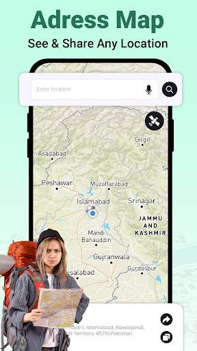
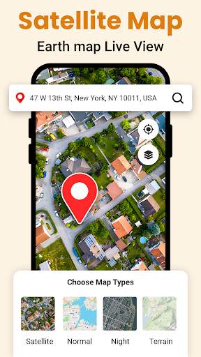
One of the key features of Live Earth Map & Satellite Map is its ability to provide users with live satellite images of the Earth. This feature allows users to see the Earth from space in real-time, providing a dynamic and interactive way to explore different locations around the globe. Users can zoom in and out, rotate the map, and switch between different views to get a better understanding of the Earth's topography and geography.
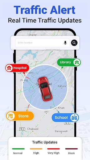
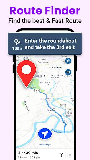
In addition to live satellite imagery, the app also offers a variety of maps and layers to enhance the user experience. Users can access street maps, terrain maps, and even 3D maps to get a comprehensive view of any location. The app also includes features such as GPS tracking, location sharing, and route planning to help users navigate and explore the world more effectively.
One of the highlights of Live Earth Map & Satellite Map is its seamless integration with other technologies such as augmented reality (AR) and virtual reality (VR). Users can use AR technology to overlay satellite imagery onto the real world, providing a unique and immersive way to explore different locations. VR technology allows users to experience the Earth in a whole new way, making them feel like they are actually standing on the surface of the planet.
Whether you are planning a trip, conducting research, or simply satisfying your curiosity, Live Earth Map & Satellite Map is a valuable tool that offers a wealth of information and resources at your fingertips. With its intuitive interface, comprehensive features, and stunning visuals, this app is sure to appeal to a wide range of users interested in exploring the Earth in a whole new way.
Overall, Live Earth Map & Satellite Map is a comprehensive and innovative app that brings the wonders of the world to your device. With its real-time satellite imagery, interactive maps, and advanced technologies, this app offers a unique way to explore and discover the beauty and diversity of our planet. Download Live Earth Map & Satellite Map today and start your journey to explore the world like never before.
Verified antivirus
Similar Apps
-

- ChargePoint
- 4.5
-
- Garmin ActiveCaptain®
- 4.0
-
- weigh-my-truck
- 3.9
-
- GPS Navigation, Map Directions
- 3.9
-
- hammer-truck-gps-maps
- 4.8
-
- qibla-finder-compass-100
- 4.3
-
- LandGlide: GPS Property Finder
- 4.3
-
- GPS Maps Voice Navigation
- 3.9
-
- Electrify America
- 4.6
-
- GPS Route Finder: Live Traffic
- 4.3
-
- speedometer-gps-speedometer
- 4.6
-
- Find My Friends: Share & Track
- 4.2